Image

This website uses cookies to understand how you use the website and to improve your experience. By continuing to use the website, you accept the University of New England’s use of cookies and similar technologies. To learn more about our use of cookies and how to manage your browser cookie settings, please review our Privacy Notice.
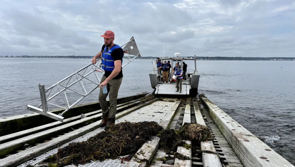
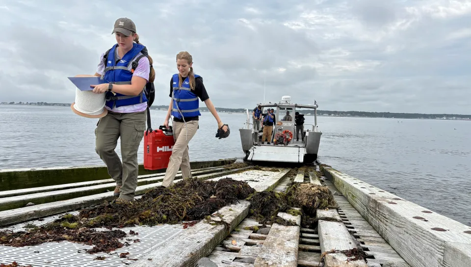
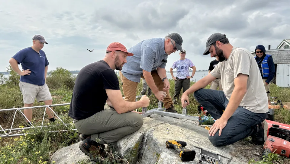
University of New England researchers installed a wave radar system on Ram Island near the Saco jetty on Friday, adding a new layer of data collection to an ongoing effort to measure how a spur jetty project will affect wave energy and shoreline conditions near Camp Ellis.
The install, led by Will Kochtitzky, Ph.D., assistant professor in UNE's School of Marine and Environmental Programs, builds on wave gauges the team deployed in March to establish baseline conditions ahead of the U.S. Army Corps of Engineers' construction of a spur jetty extension.
The newest piece of that weather detection system — the wave radar — will help researchers measure how effectively the jetty reduces wave energy and reflects that energy back into the bay.
Together, the instruments — buoy, gauges, and radar — give researchers a multi-layered dataset spanning before, during, and after construction of the spur jetty, which is expected to continue through summer 2027.
The Army Corps has forecast that the spur jetty will reduce wave height in the area by roughly 20%.
Kochtitzky said the new radar data will let the team verify whether that proves true in practice.
"We hope this information will help Camp Ellis keep sand on their beaches for longer and increase the effectiveness of sand nourishment projects," Kochtitzky said.
Visible across the Saco River from UNE’s campus in Biddeford, the coastal community of Camp Ellis has for decades been marred by increasingly intensifying storms, with waves decimating beaches and causing millions of dollars in damages to homes, businesses, and roadways.
The radar install was aided by a UNE graduate and current student with assistance from two outside partners: Coastal Measures, based in Kittery, Maine, which provided coastal risk analytics and monitoring-network software, and Michigan-based Sea Signal Tech, which manufactures the wave radar units used in the project.
Coastal Measures will help the UNE team integrate, visualize, and analyze the wave datasets. Sea Signal Tech has deployed similar systems at sites around the country. Both had engineers on the UNE research vessel that deployed the radar system on Friday.
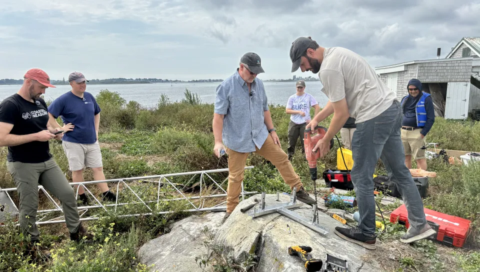
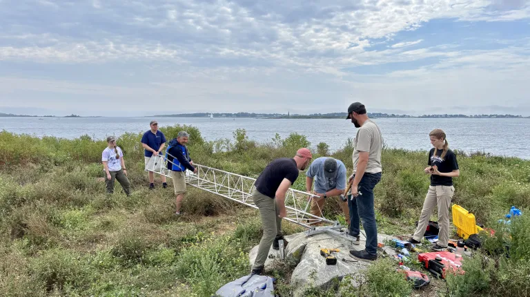
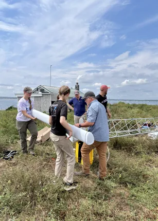
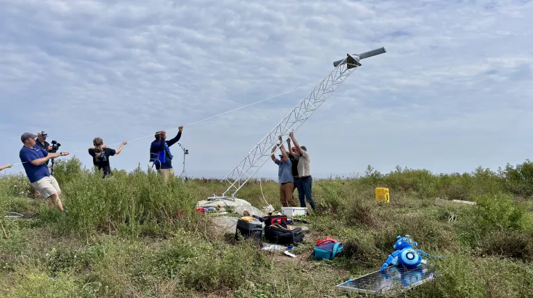
In addition, Nicolette Stamos (Marine Science, ’27), a UNE Shaw Innovation Fellow, and Katie DeWater, B.S. ’25 (Marine Sciences), a Goldwater Scholar pursuing a master’s at UNE in marine sciences, helped install the radar system and will be using the data it provides to track wave activity in Saco Bay around Camp Ellis.
As part of her Shaws Innovation Fellowship, Stamos will work with Save Our Shore Saco Bay (SOS) this fall to combine data from the wave buoy, wave gauges, and wave radar into a fuller picture of wave dynamics in Saco Bay to help SOS in its mission to educate the public about coastal erosion in Maine.
“The best part of being here at UNE is getting this kind of hands-on experience, working with people outside of the university, too, and getting to see the behind-the-scenes of where our data comes from,” Stamos said. “We're getting real-time data, too. This isn't something that happened 10 years ago that we're studying now. This is what's happening right now.”
DeWater — who received a $159,000 Graduate Research Fellowship from the National Science Foundation to study vulnerable sections of the Maine coastline — is integrating the data from the radar system for her master's thesis research on Camp Ellis, examining both the community's history and its currently shifting shoreline conditions.
“With this data, we get the wave spectra of Saco Bay, and from that we can measure wave period, wave frequency, and wavelengths, and better understand how these waves are interacting with the jetty and the coastline,” DeWater said. “It's the most incredible experience — it's really a great learning experience working with folks in the industry, learning how equipment gets set up and installed, and then working with those data sets to understand the science part."